Scientists Explore Breathtaking Hydrothermal Vents in Virtual Reality
With a high-tech remotely operated vehicle, a team is able to map a dark, hot and toxic vent field on the ocean floor
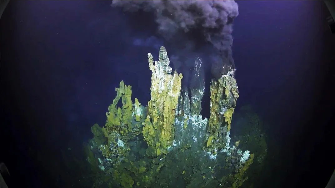
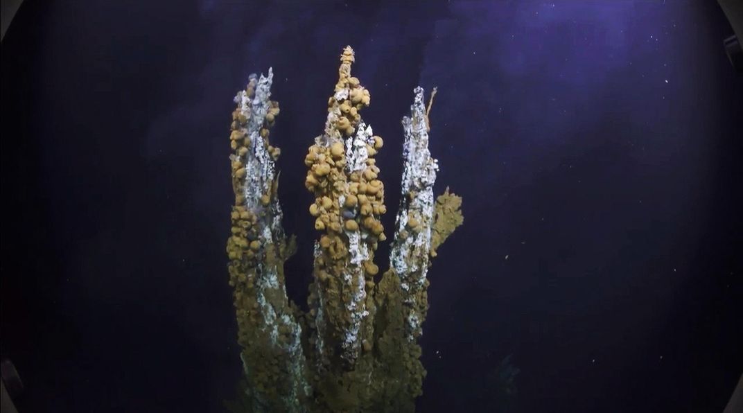
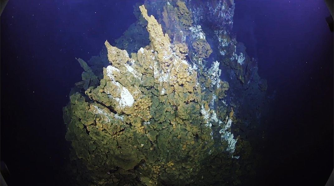
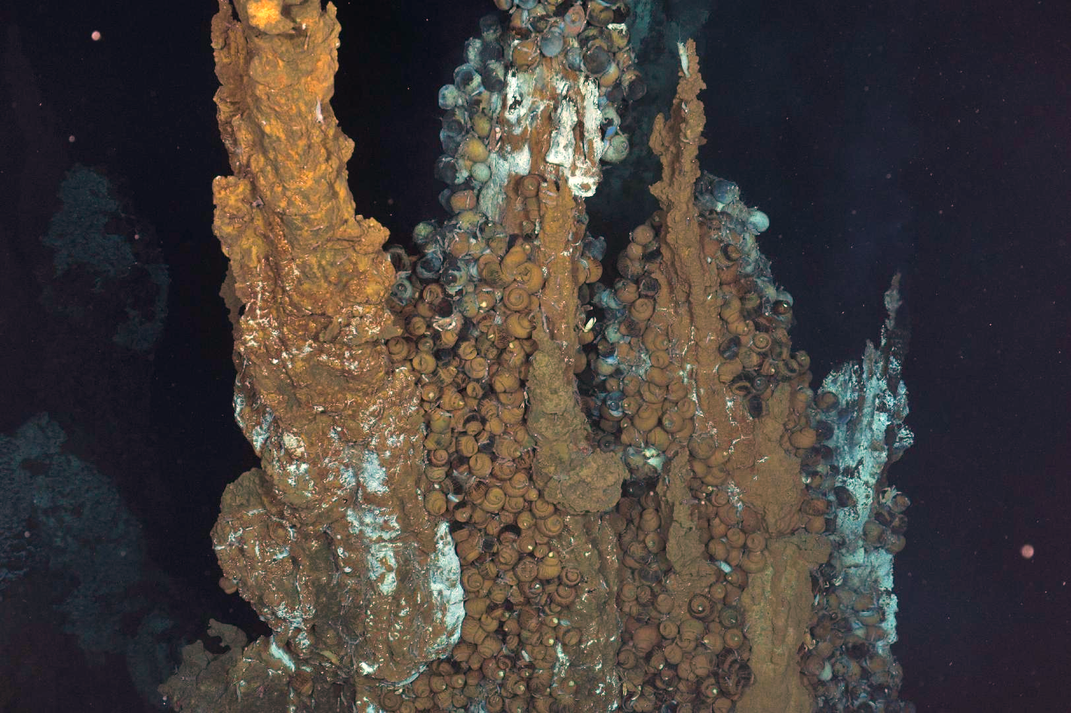
In the deep waters between Fiji and Tonga, roughly a mile below the surface, towering chimneys rise from the seafloor. These black smokers expel dark clouds of scalding water, rich in elements like sulfur, copper and zinc.
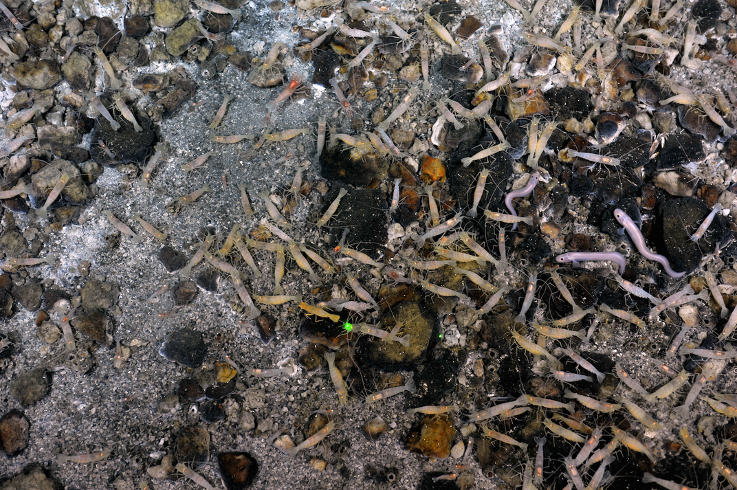
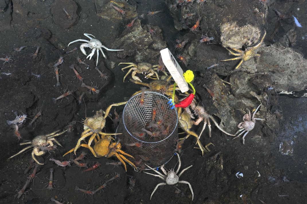
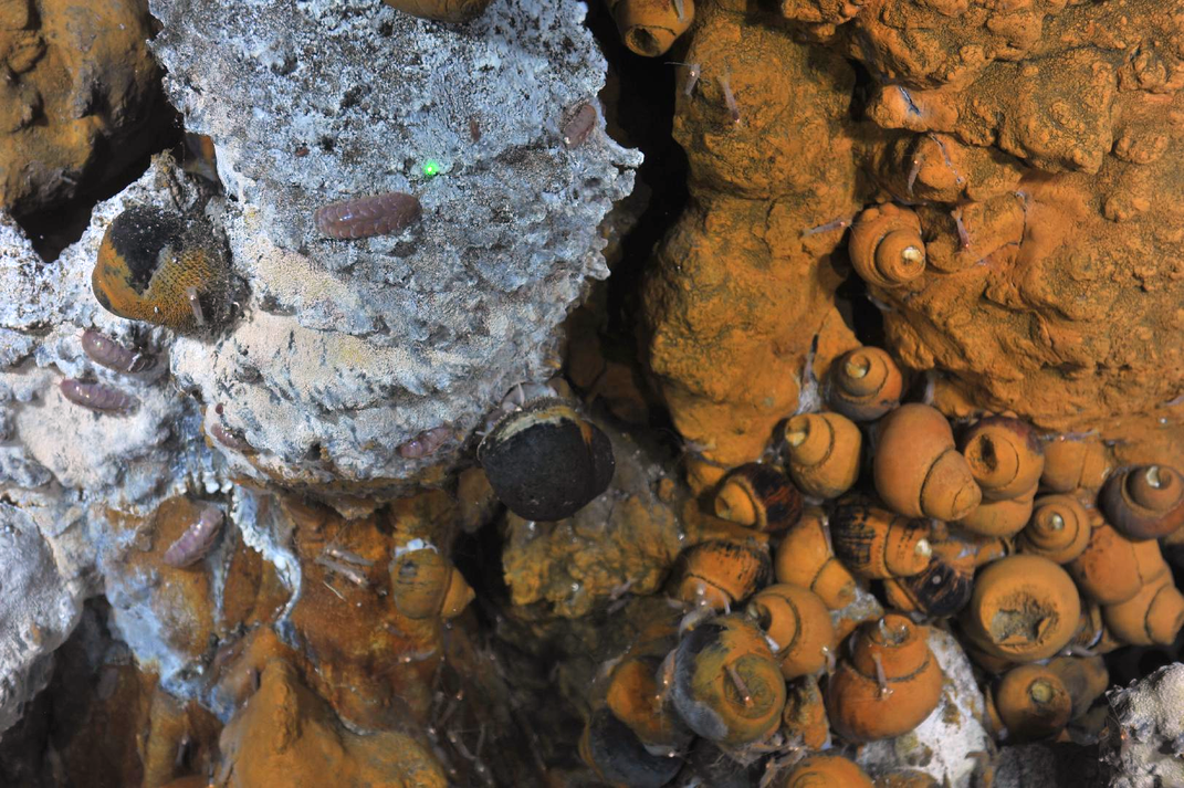
Despite the darkness, crushing pressure, heat and toxicity at the spot in the northeast Lau Basin, near where the Australian and Pacific tectonic plates converge, the chimneys bristle with life. Mining companies have become interested in the cache of metals at hydrothermal vents, making it increasingly necessary to examine and catalog these complex ecosystems. But studying the ocean floor is no simple task.
The Lau Basin lies largely out of human reach. Though submersibles, such as Alvin, can carry people into the depths, access to such equipment is limited and risky. So scientists mainly rely on remotely operated vehicles (ROVs) to be their eyes and hands down below.
Even so, experiencing these spewing fissures in the ocean’s crust through the limited range of a camera is a less than satisfying experience, explains Tom Kwasnitschka, a deep-ocean researcher at the Helmholtz Centre for Ocean Research in Kiel, Germany.
“Imagine walking through Manhattan and only being allowed to see [the city] through the viewfinder of a camera,” he says. “What kind of experience would you get?”
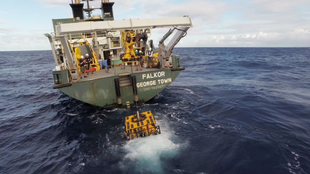
Now, scientists and engineers who have sailed on Schmidt Ocean Institute's research vessel Falkor are using virtual reality to take the plunge into this alien world. Though previous groups have imaged individual chimneys, the team plans to create a three-dimensional virtual reconstruction of the entire vent field using one of the most advanced ROVs to set propeller in the Lau Basin.
“We wanted to walk on the seafloor—it’s easy as that,” says Kwasnitschka, chief scientist of the project. “Only it’s not.”
Hydrothermal vents form in volcanically active regions of the ocean, where water can creep between cracks in the crust and come into contact with the heat churning below. This superheated water dissolves some of the metals from the surrounding rocks before it’s ejected out in black clouds like a geyser from the seafloor.
Not only can the temperatures at hydrothermal vents reach scalding levels, soaring up to 700 degrees Fahrenheit, but the environment is shrouded in darkness. To top it off, the weight of all that overlying water would crush an unprotected human body. The team’s ROV explored around three quarters of a mile down, where the pressure is immense—just under one ton per every square inch, or about the same amount of pressure you’d feel if a black rhino was standing on your big toe.
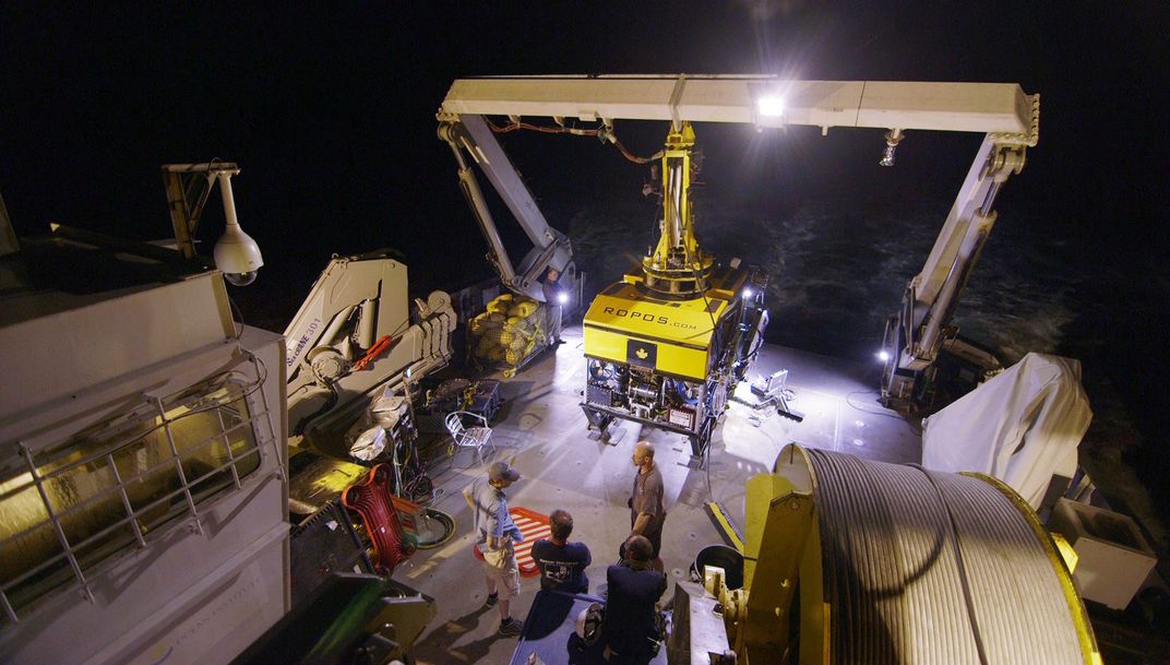
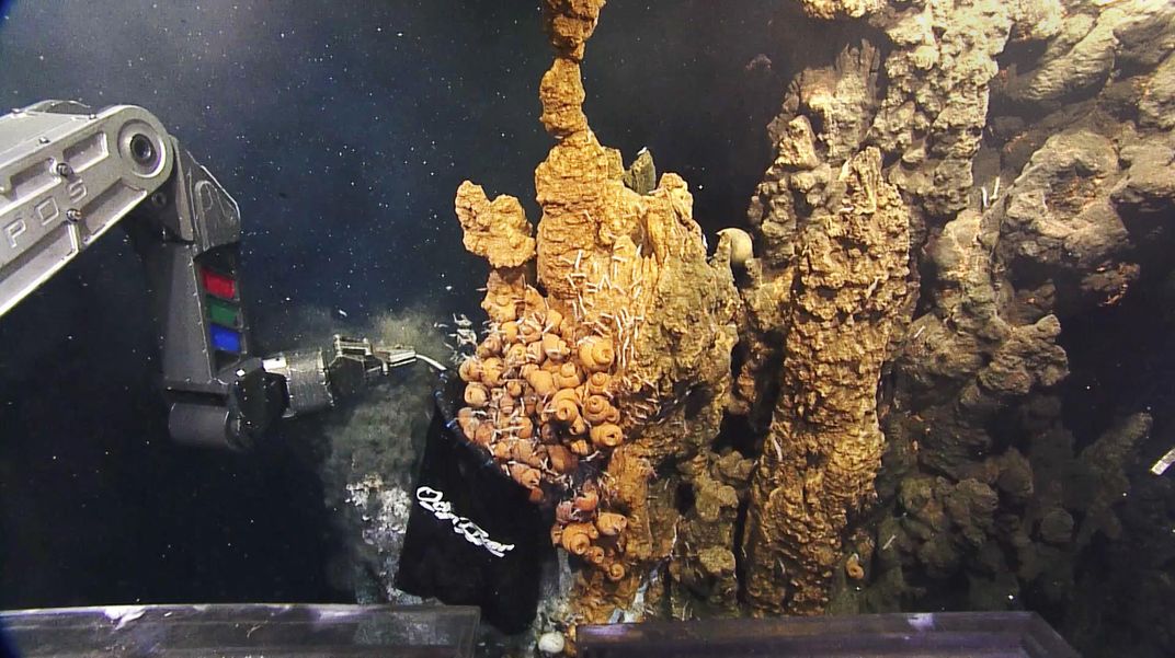
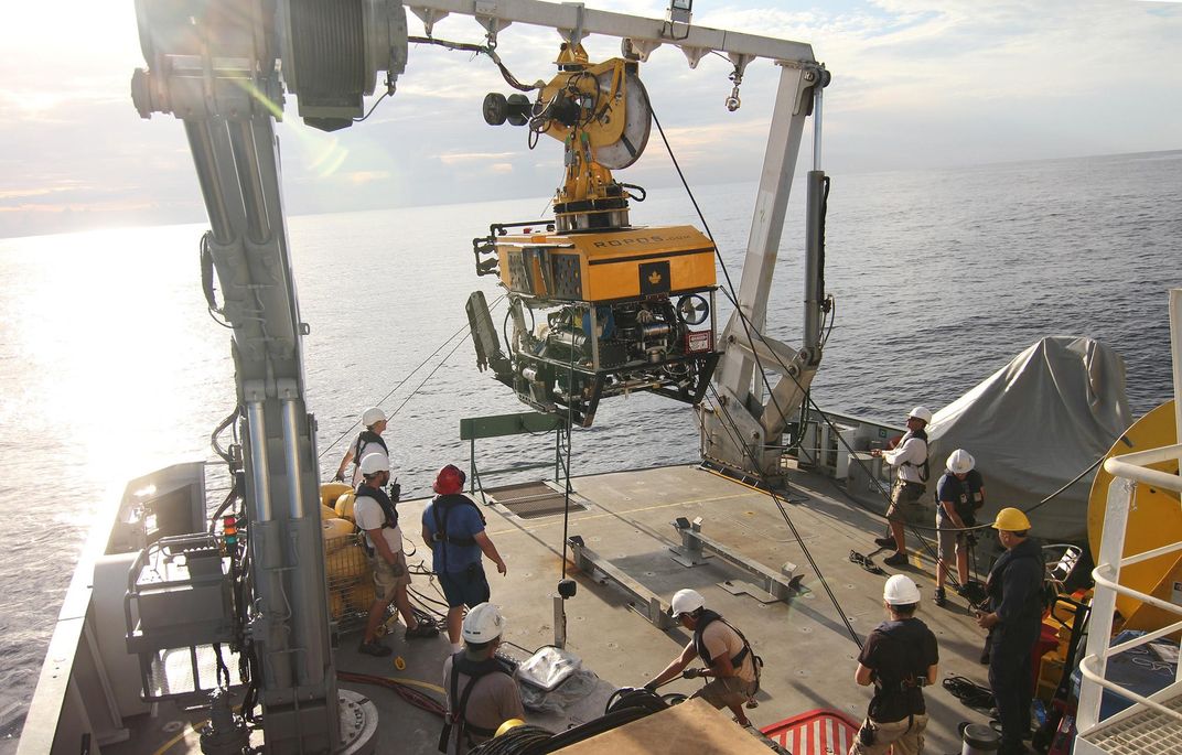
Unlike the fragile human body, an ROV can withstand the vent conditions. The team’s buggy, called the Remotely Operated Platform for Ocean Sciences (ROPOS) is roughly the size of a Jeep Wrangler and weighs in at about 3.5 tons. Though it looks like a tangle of wires, gears and hydraulics up close, the high-tech system employs a battery of high-definition cameras for both video and still imagery, including a 4K camera that produces cinema-quality video, stereo cameras that take images for 3D viewing and powerful underwater lights.
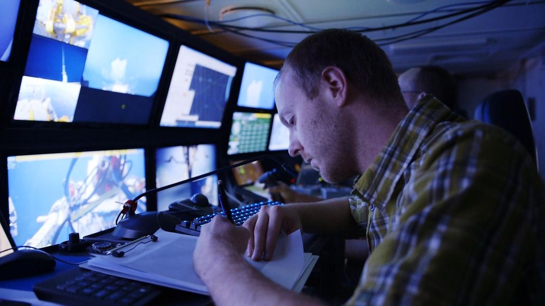
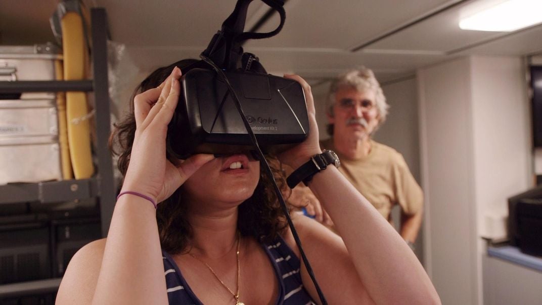
One particularly notable feature is that the ship’s crew can experience the vents firsthand, virtually wandering among the spires while wearing a viewfinder onboard the Falkor. When imagery began pouring in, Kwasnitschka says the the crew lined up in the middle of the night to explore the vents with the viewfinder.
“It’s a very compelling experience to see a black smoker field and feel your way around,” says Kwasnitschka. “Suddenly you don’t bump [the ROV] into things anymore because you can turn your head and see that spire you are about to knock into.”
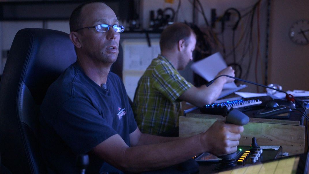
Even so, navigating ROPOS is no small feat. “It is very much comparable to flying a helicopter in the forest,” says Kwasnitschka.
The team spent three days capturing photographs and video of an area equal to 74 football fields in order to create a 3D map, with a resolution high enough to discern individual blades of grass. Using this data, they could then choose the best localities to grab samples that reflect the diverse rock types and life that teems on the vent’s surface.
While most expeditions have scientists mapping and grabbing samples as they go, this method turns out to be much more efficient.
“You [usually] haste from corner to corner trying not to miss the exciting things. But you can’t see very far and you don’t know where you are,” says Kwasnitschka. “You simply don’t know where the good rocks are.”
By using ROPOS, the team got the lay of the land before selecting sampling locations and finished with surprising speed, Kwasnitschka explains. “They had seen the place, and they knew what they had was representative, and we could go home,” he says.
Though the ocean covers more than 70 percent of the planet, less than five percent has ever been explored. Kwasnitschka thinks his virtual reality system is one of the technologies that could usher in the next generation of deep-sea exploration.
The team’s spectacular 360-degree video is now available on YouTube. But their work is not done yet.
“This sort of technology is only ever as good as the science you get out of it,” says Kwasnitschka. “And I think that’s important to remember. We don’t go down there for YouTube, we go down there for science.”
His group hopes to use the documentation to better understand the intricate inner workings of the vent ecosystem and track changes over time. Creating a virtual map could also help them make sense of how individual chimneys are connected within the larger vent field.
So as life continues to bustle along in the inky darkness of the vents, the scientists are now digging into the multitudes of samples, images and hours of footage collected to bring the harsh environment of the hydrothermal vent to the comfort of the lab.
/https://tf-cmsv2-smithsonianmag-media.s3.amazonaws.com/accounts/headshot/Wei-Haas_Maya_Headshot-v2.png)


/https://tf-cmsv2-smithsonianmag-media.s3.amazonaws.com/accounts/headshot/Wei-Haas_Maya_Headshot-v2.png)