Geologic Maps: Where Science Meets Art
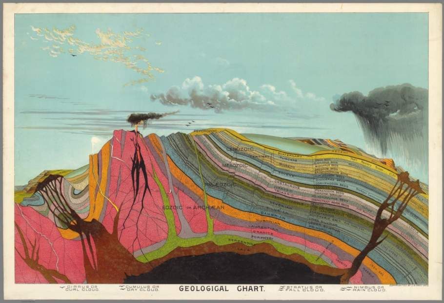
Geologic maps are used to locate natural resources, such as water or oil, or the best place to hunt for fossils, but they can also be eye catching works of art.
:focal(500x375:501x376)/https://tf-cmsv2-smithsonianmag-media.s3.amazonaws.com/blogging/featured/geo_map_morava_valles.jpg)
Geologic maps aren’t ordinary maps, they are useful tools that illustrate the rocks beneath your feet! These maps use bright colors to differentiate between the types and ages of rocks. Together with structural features such as folds, faults (where rocks are compressed or pushed together), and troughs (that occur when rocks are pulled apart or extended), these maps provide insight into the geologic history of the study area. Geologists use geologic maps to locate natural resources, such as water or oil, or the best place to hunt for fossils, but they can also be eye catching works of art.

Just like on Earth, geologic maps are useful scientific tools in the planetary geology community as well. Several such maps have been created at varying scales on rocky bodies in our solar system including Mercury, Venus, Mars, the Moon, and asteroids such as Vesta. As a geologist at the Air and Space Museum’s Center for Earth and Planetary Studies, I create standardized geologic maps on Mars that are published by the U.S. Geological Survey. In celebration of Geologic Map Day, I’m excited to give you a sneak peek of a map that is currently being published.

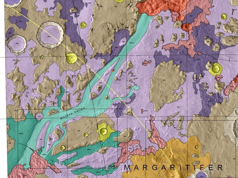
This geologic map in Margaritifer Terra captures the end of a very long valley system. On Early Mars, water flowed through Morava Valles (green units) and ponded in a low-lying topographic depression known as Margaritifer basin (broadly outlined by the light and dark purple units). The surface later collapsed (pink and red units) when ground ice below melted, and there is evidence of young volcanic activity (orange unit). This geologic map clarifies the timing, relative contributions, and the fate of water that filled Margaritifer basin. Additionally, it helps scientists unravel the broader implications for the timing and sources of water on Mars at a global scale. The map covers approximately 75 miles of the study area.
