See the Algerian Sahara From Space
It’s pretty spectacular
/https://tf-cmsv2-smithsonianmag-media.s3.amazonaws.com/filer/40/d2/40d23a09-9b76-427b-bf25-f1e62b5e7ba6/central_algeria_edit1.jpg)
The Sahara desert stretches across 3.6 million square miles of northern Africa, including most of Algeria. That might conjure a mental image endless, rolling sand dunes and relentless heat, but now you can see what it really looks like. From space at least.
A new image snapped by a European Space Agency satellite called Sentinel-2A shows that desert topography can be complicated, as Maddie Stone reports for Gizmodo.
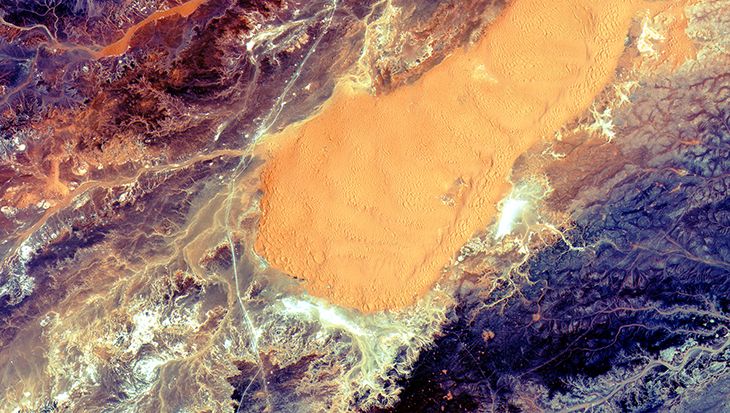
Released by the ESA on July 10, the image covers a swatch of land just sound of Algeria’s El Ménia oasis. A dune protrudes into center amid arid ridges and valleys. The light line that cuts the image in half vertically is actually an important trade route in the region.
The satellite launched in late June, and it’s tasked with tracking how Earth’s vegetation changes. Observing from above, satellites like Sentinal-2A have proved extremely adept at helping scientists keep tabs on harsh, hard to reach environments like the Sahara.
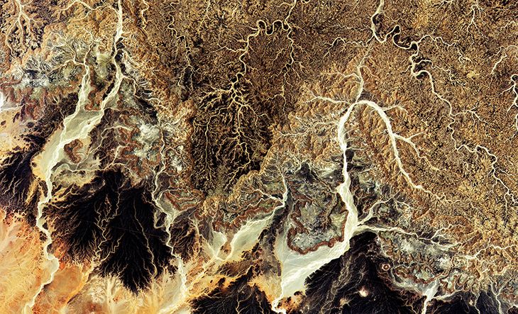
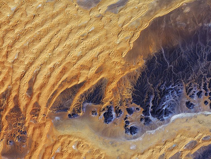
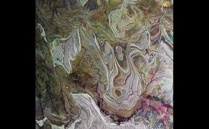
Here are some equally impressive shots of the desert taken by Sentinal-2A and other ESA satellites:
/https://tf-cmsv2-smithsonianmag-media.s3.amazonaws.com/accounts/headshot/Screen_Shot_2014-01-27_at_12.05.16_PM.png)


/https://tf-cmsv2-smithsonianmag-media.s3.amazonaws.com/accounts/headshot/Screen_Shot_2014-01-27_at_12.05.16_PM.png)