Maps
A Man Noticed a Strange Shape on the Ground on Google Earth. It Turned Out to Be the Mark of an Undetected Tornado
Geoscientists in Australia suggest a strong tornado swept across the Nullarbor Plain in November 2022 and made the 6.8-mile-long scar on the landscape—without anyone noticing
A Rare Atlas of Astronomy From the Dutch Golden Age Goes on Display in England
The copy of "Harmonia Macrocosmica" dates back to the 17th century and includes ancient theories of the universe
See the First Section of the Largest-Ever Cosmic Map, Revealed in Stunning Detail by the Euclid Space Telescope
The final 3D atlas of the sky will help scientists study dark matter and dark energy, which make up 96 percent of the universe but remain mysterious
How Captain George Vancouver Mapped and Shaped the Modern Pacific Northwest
The British explorer named dozens of geographical features and sites in the region, ignoring the traditions of the Indigenous peoples who’d lived there for millennia
Scientists Unveil the First-Ever Complete Map of an Adult Fruit Fly's Brain, Captured in Stunning Detail
The brain diagram, called a connectome, could revolutionize researchers' understanding of the human brain, which has many parallels with a fruit fly's
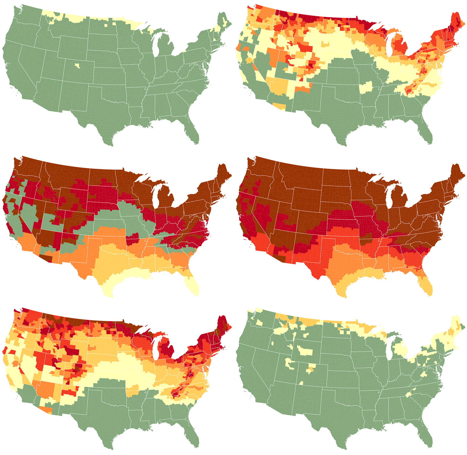
This Map Lets You See When Magnificent Fall Foliage Will Peak in Your Area
Use the interactive tool's week-by-week, county-by-county predictions to start planning your leaf-peeping trips across the United States
There’s a Better Way to Teach the California Gold Rush
A new lesson plan centers Native American perspectives on the violence of Western expansion
What America's First Board Game Tells Us About the Aspirations of a Young Nation
Released in 1822, the Travelers’ Tour Through the United States took players on a cross-country adventure
This Map Lets You See How School Segregation Has Changed in Your Hometown
The new interactive tool accompanies a study of school enrollment data, which shows that segregation has worsened in recent decades
Why Do Some People Always Get Lost?
Research suggests that experience may matter more than innate ability when it comes to a sense of direction
Shells From Captain Cook's Final Voyage Were Rescued From a Dumpster
Long presumed lost, the collection of rare shells is now on display in England
Long Overlooked, This 11th-Century Astronomical Device Documents Scientific Exchange Among Muslims, Jews and Christians
The astrolabe features Hebrew and Latin inscriptions added by different owners over time
Archaeologists Discover Ancient Cities Hidden in the Ecuadorean Amazon
Laser imaging has revealed an extensive network of settlements and roads that challenge historical understandings of the area
These Entrancing Maps Capture Where the World's Rivers Go
Cartographer Robert Szucs uses satellite data to make stunning art that shows which oceans waterways empty into
Sold for $239,000, This Map Is Actually a Rare 14th-Century Nautical Chart—and Worth $7.5 Million
A San Diego map dealer uncovered the artifact's true origins through impressive historical sleuthing
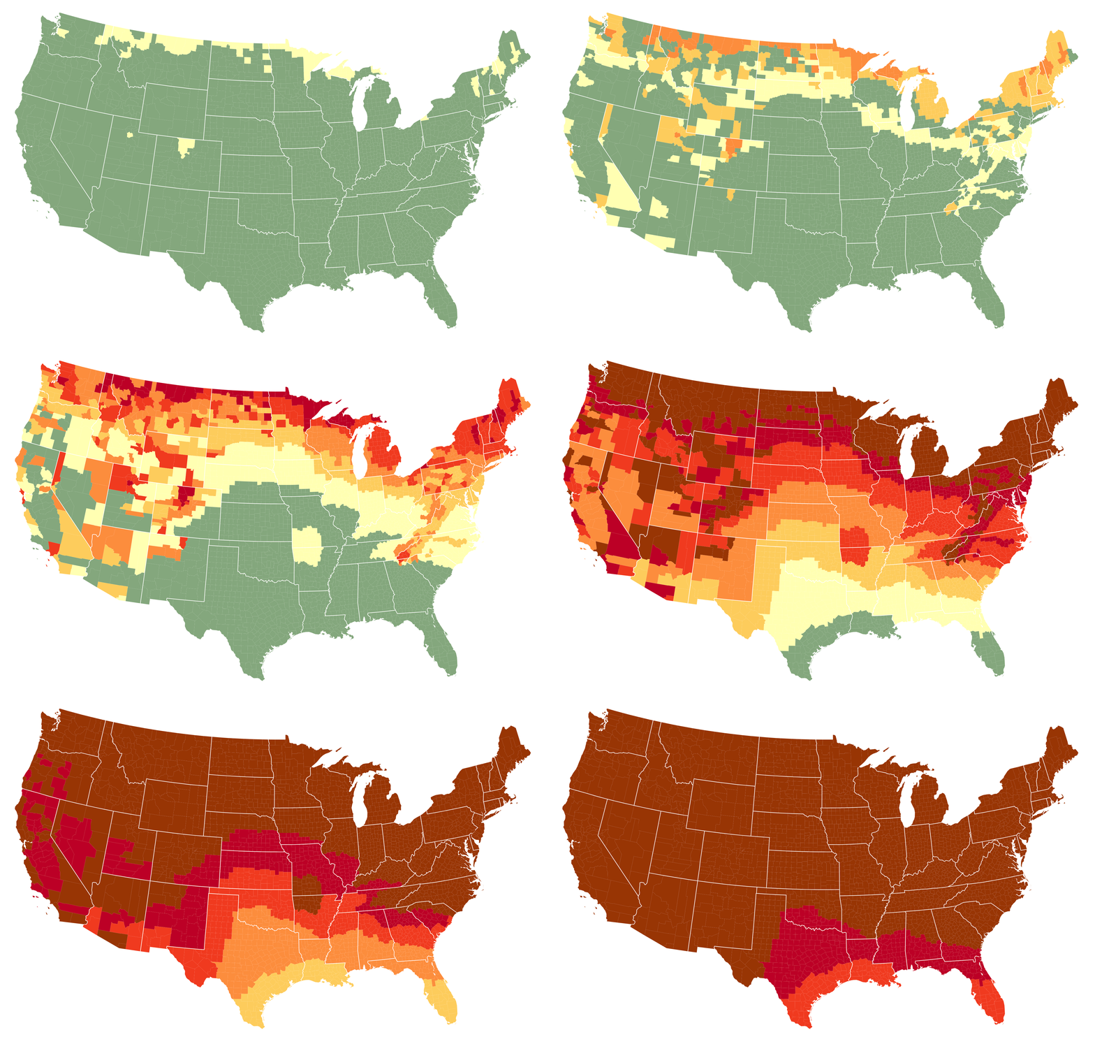
See When Brilliant Fall Foliage Will Peak With This Interactive Map
The tool's county-by-county predictions will help you plan the best leaf-peeping trips
Archaeologists Discover the Oldest Known Blueprints
The Stone Age engravings are to-scale depictions of desert kites, massive stone structures used by hunters to capture animals
What Happened to the Treasure Nazis Buried in This Dutch Village?
The Dutch National Archives released a map supposedly leading to the trove of jewelry, coins and precious stones in January
Have Any Animals Evolved to Adapt to Human Activity?
You’ve got questions. We’ve got experts
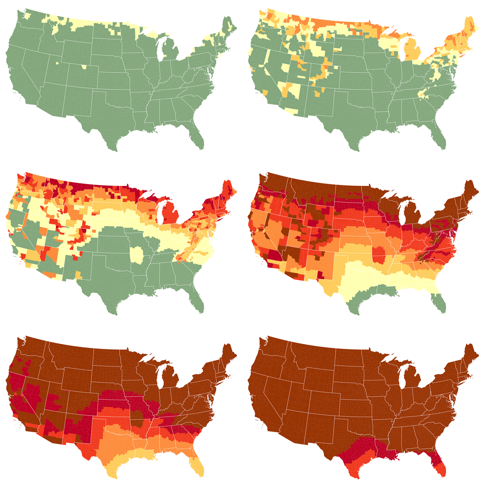
This Interactive Map Will Help You Plan the Ultimate Leaf-Peeping Trip
Find the best times to admire fall colors across the country
Page 1 of 10
:focal(538x313:539x314)/https://tf-cmsv2-smithsonianmag-media.s3.amazonaws.com/filer_public/74/4c/744c089f-7d52-4fbd-adfd-1edb44fad7d9/screenshot_2024-11-27_at_112434am.png)
:focal(2152x1619:2153x1620)/https://tf-cmsv2-smithsonianmag-media.s3.amazonaws.com/filer_public/12/0b/120b4ecc-93c3-4270-8e14-b54edc7389c9/after_conservation_photo_clare_prince.jpeg)
:focal(960x549:961x550)/https://tf-cmsv2-smithsonianmag-media.s3.amazonaws.com/filer_public/f4/7b/f47b89c4-4f38-4570-bc12-e5c5ecb54455/euclid_captures_core_of_abell_3381_galaxy_cluster_pillars.jpg)
:focal(700x387:701x388)/https://tf-cmsv2-smithsonianmag-media.s3.amazonaws.com/filer_public/50/cf/50cf293a-b9c7-422f-871a-7f497712d875/vancouver.png)
:focal(1440x960:1441x961)/https://tf-cmsv2-smithsonianmag-media.s3.amazonaws.com/filer_public/b1/25/b12582c3-4fdf-4447-9938-41a2fb15bb60/fw_all_l.png)

:focal(800x602:801x603)/https://tf-cmsv2-smithsonianmag-media.s3.amazonaws.com/filer_public/2a/b9/2ab90e4f-0cf2-4950-9466-43801188ca57/cagoldrush-v2.jpg)
:focal(700x527:701x528)/https://tf-cmsv2-smithsonianmag-media.s3.amazonaws.com/filer_public/e5/82/e5829162-454a-4860-8387-08d62609723d/board-game.jpg)
:focal(392x220:393x221)/https://tf-cmsv2-smithsonianmag-media.s3.amazonaws.com/filer_public/ee/c2/eec296e5-13f2-4889-b20a-ad89f75ca16f/screenshot_2024-05-14_at_20047pm.png)
:focal(800x602:801x603)/https://tf-cmsv2-smithsonianmag-media.s3.amazonaws.com/filer_public/07/20/0720406e-51f0-4bee-b91a-34b050bf3886/navigation-3200x1200_web.jpg)
:focal(2518x1894:2519x1895)/https://tf-cmsv2-smithsonianmag-media.s3.amazonaws.com/filer_public/d5/e0/d5e04319-c816-41d5-bc03-06957fc7e58f/image532ja.jpeg)
:focal(446x335:447x336)/https://tf-cmsv2-smithsonianmag-media.s3.amazonaws.com/filer_public/f8/89/f8896561-9ab3-4b6d-97e8-a60ccedbf192/dr_federica_gigante_examining_the_verona_astrolabe_credit_federica_candelato_1.jpeg)
:focal(1183x586:1184x587)/https://tf-cmsv2-smithsonianmag-media.s3.amazonaws.com/filer_public/95/89/958906be-8183-454a-978b-add2a90071ab/2_kunguints_dorisonrostain.jpg)
:focal(800x602:801x603)/https://tf-cmsv2-smithsonianmag-media.s3.amazonaws.com/filer_public/92/9e/929e2c61-f54b-4dbe-8ff1-ce6c982ad0e7/main_ocean-drainage-basin-map-of-the-world-black-with-polygons-and-legend-by-grasshopper-geography-2000px.jpg)
:focal(1500x1000:1501x1001)/https://tf-cmsv2-smithsonianmag-media.s3.amazonaws.com/filer_public/e9/72/e972971c-927a-4f38-ac7b-c0d9441ff584/gettyimages-1749850615.jpg)

:focal(350x237:351x238)/https://tf-cmsv2-smithsonianmag-media.s3.amazonaws.com/filer_public/28/71/28710ef0-1c27-4866-974b-c497fbe1cde3/low-res_434jpg.jpg)
:focal(3779x2519:3780x2520)/https://tf-cmsv2-smithsonianmag-media.s3.amazonaws.com/filer_public/ab/7a/ab7a223f-3fda-44cb-a413-0676b62399b1/gettyimages-1252465364.jpg)
:focal(448x337:449x338)/https://tf-cmsv2-smithsonianmag-media.s3.amazonaws.com/filer_public/b6/c7/b6c7aaff-117f-47bd-b498-954ca749b292/ask.jpg)
