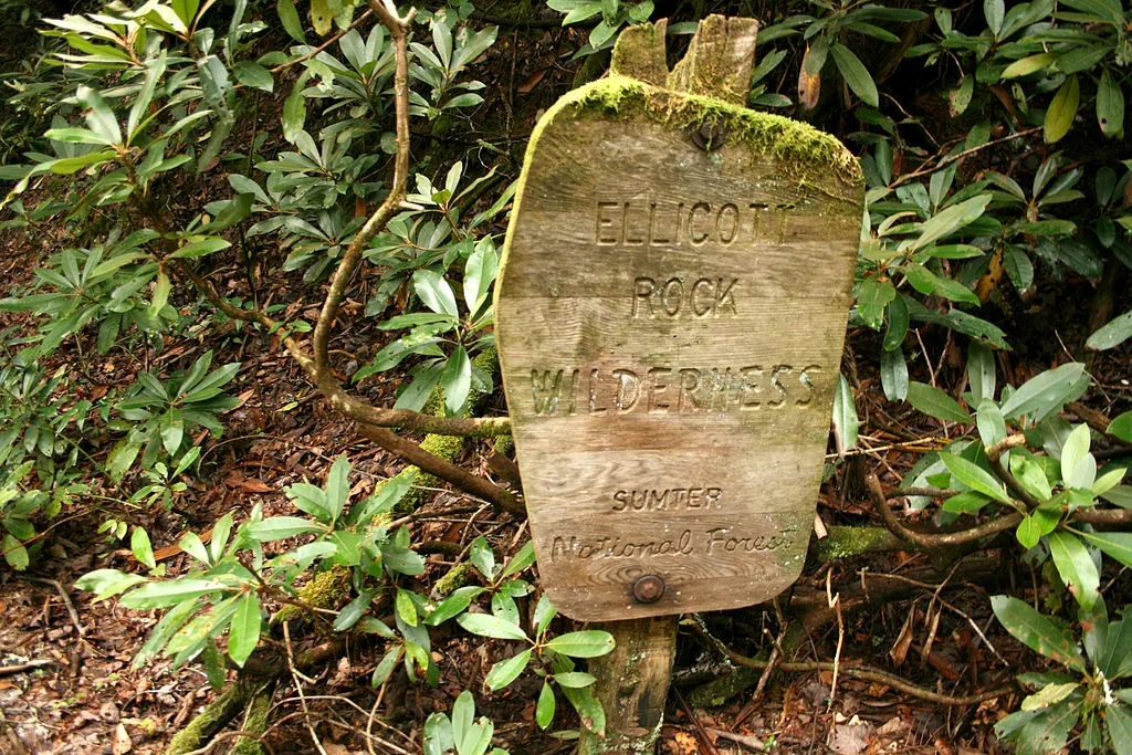
Ellicott Rock Wilderness
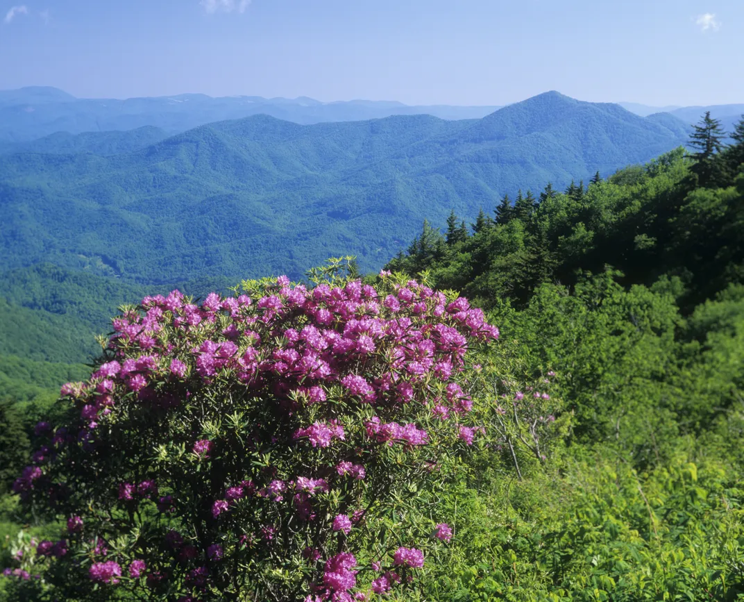
Rugged terrain, tall peaks, Wild and Scenic Chattooga River
Location: Georgia, North Carolina, South Carolina
Size: 8,274 acres
Year Designated: 1975
Fast Fact: Ellicott Rock Wilderness is the only wilderness area to border three different states.
In 1811, Andrew Ellicott first laid eyes on the pristine piece of southern wilderness that would, over 150 years later, come to be known Ellicott Rock Wilderness. By chiseling his name into a nondescript rock, since named Ellicott’s Rock, Ellicott effectively delineated the state boundary between North Carolina and Georgia.
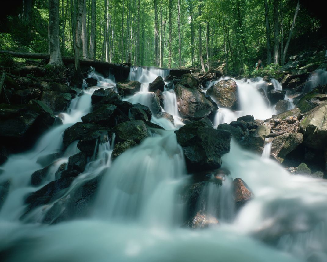
In the years after Ellicott, the area was decimated by industry, nearly stripped clear of all its natural ecosystems by logging. Still, the area has been able to recover well from human activity, housing hardwood trees that have some 80 years of growth. In the North Carolina portion of the wilderness, wild boar can be found roaming. In Georgia, black bears and raccoons can sometimes be spotted, alongside less-elusive deer and wild turkeys. The Chattooga River is another major attraction of the wilderness area: its middle portion offers some of the best whitewater rafting in the eastern United States.
Planning Your Next Trip?
Explore great travel deals
Smithsonian magazine participates in affiliate link advertising programs. If you purchase an item through these links, we receive a commission.


